Applications
Application Areas
The 3D subsurface and surface imaging capabilities of Kerberos™ and Lynx are useful for a wide range of applications, including:
Pavements
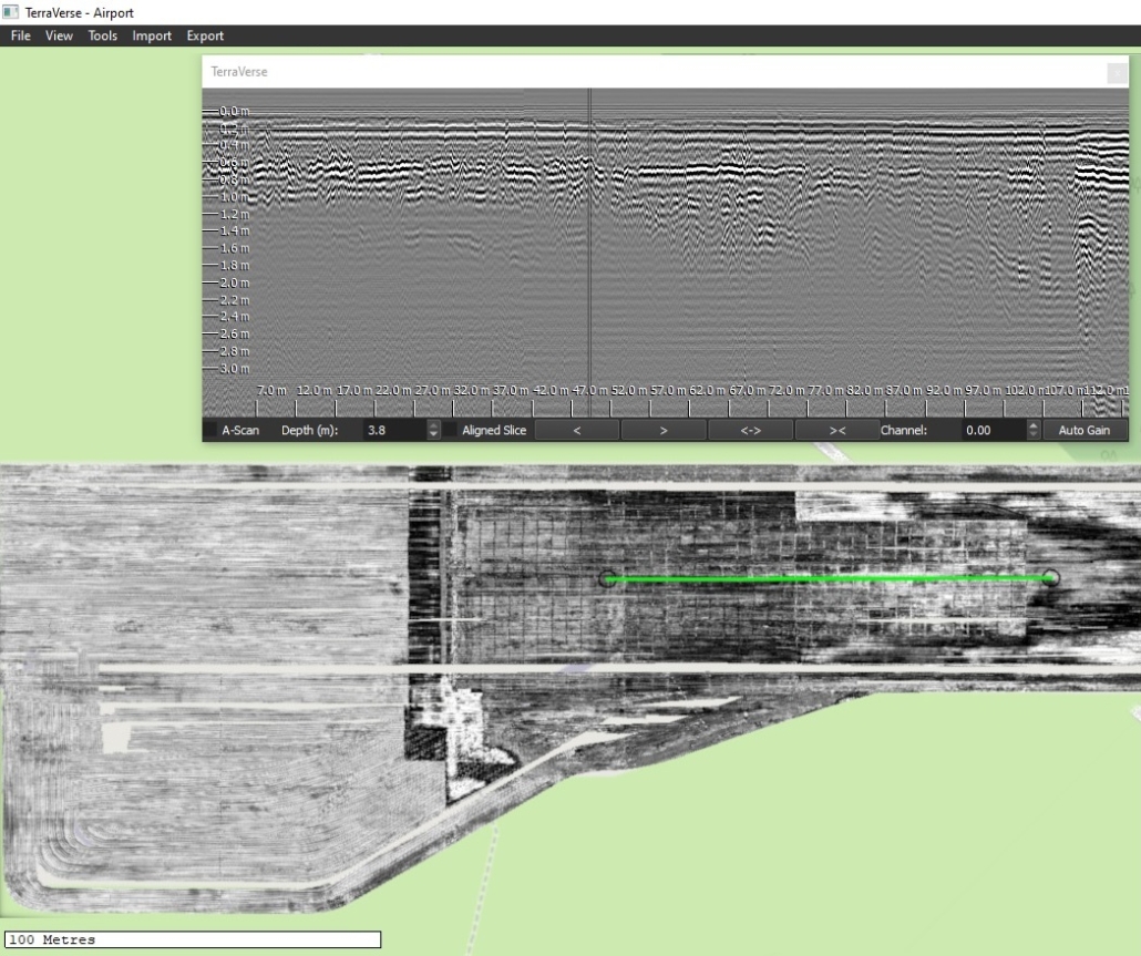
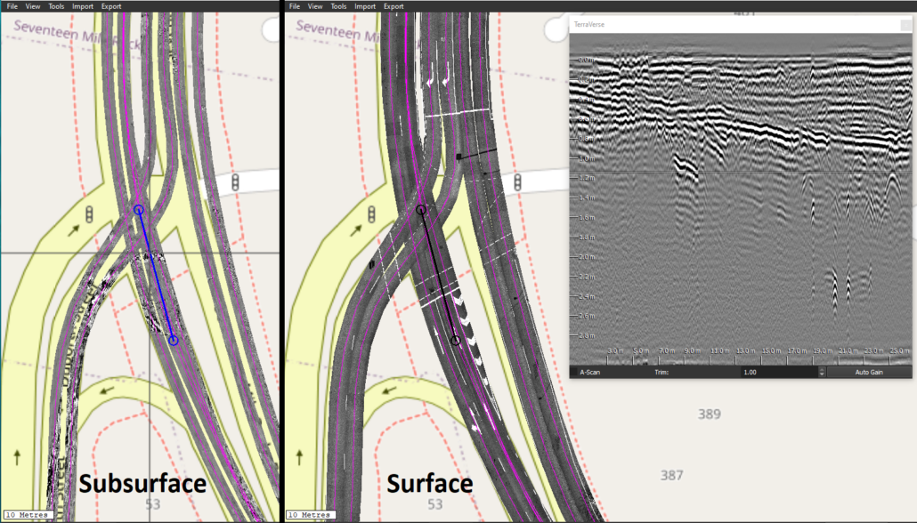
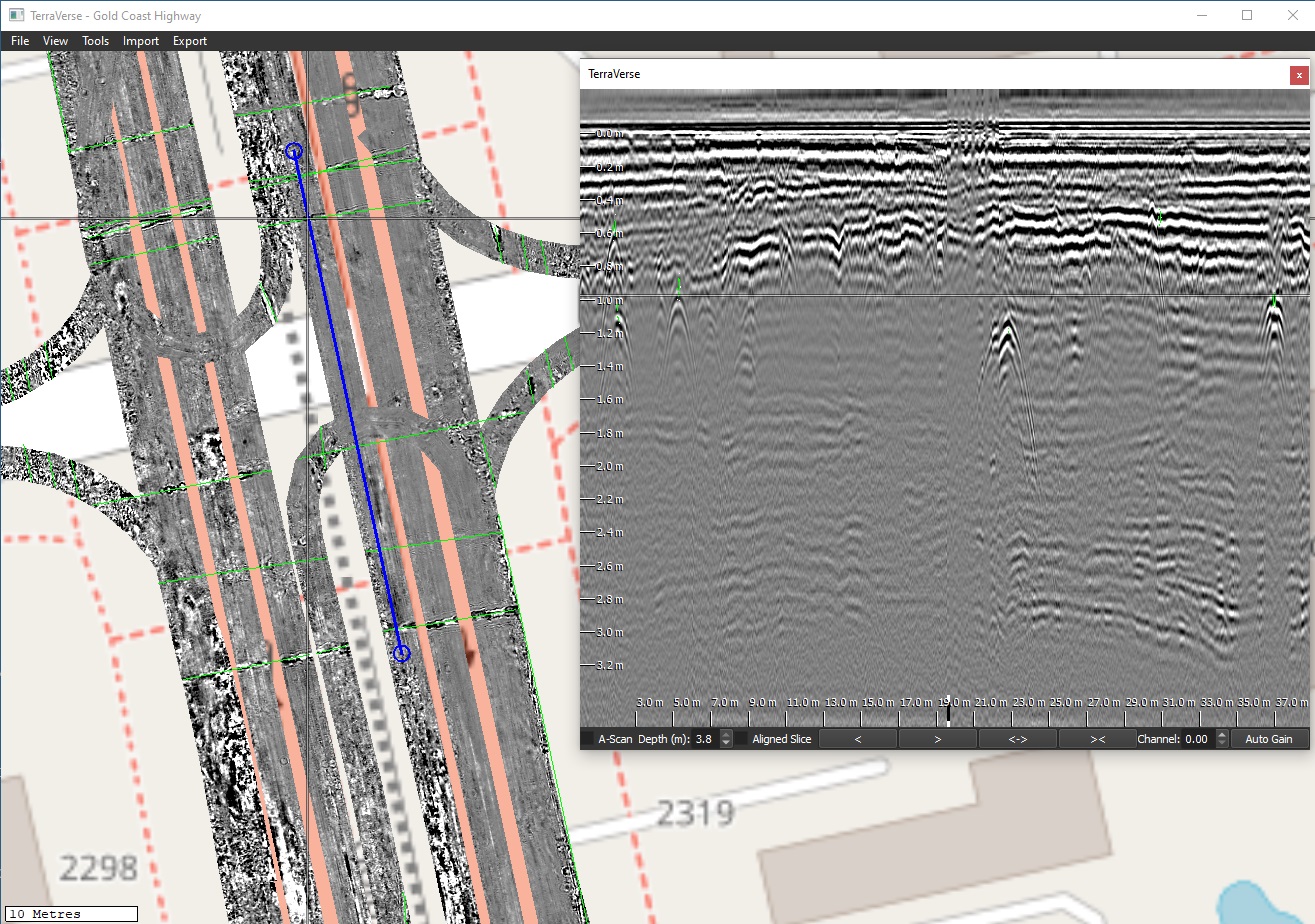
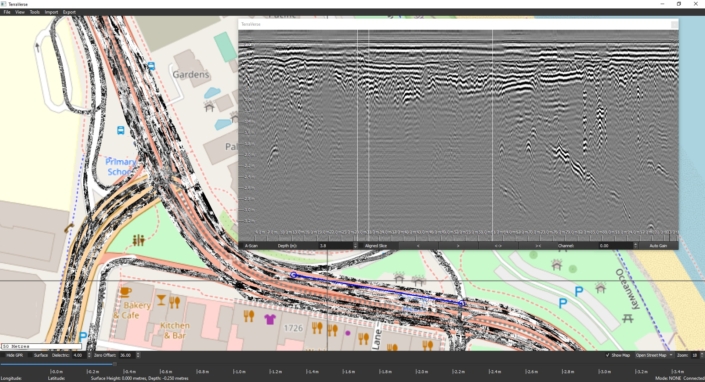
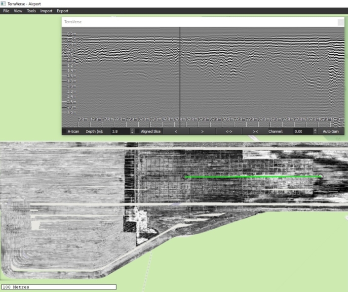
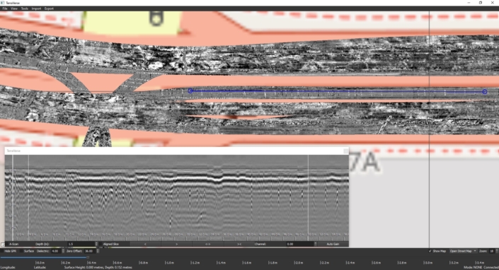
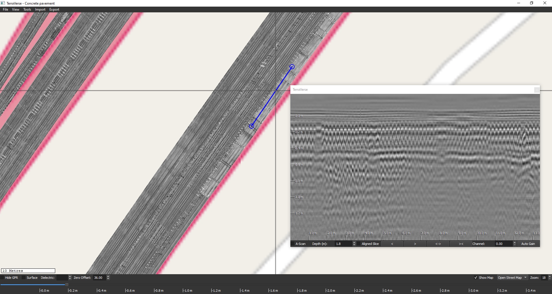
- Scanning roads, airport pavements, bridge deck wearing surfaces and bridge approaches, concrete turnouts etc to determine ‘as-constructed’ details; locating changes of construction; mapping and identifying prior remediation & repairs.
- Detecting subsurface voids, pavement defects, and subgrade obstructions such as boulders or old buried infrastructure.
- Mapping extents and distinguishing between areas of homogeneous construction from those with varying depth and configuration.
- Optimising the number and value of cores and trenches by targeting them to the most representative locations.
- Detecting areas of moisture ingress.
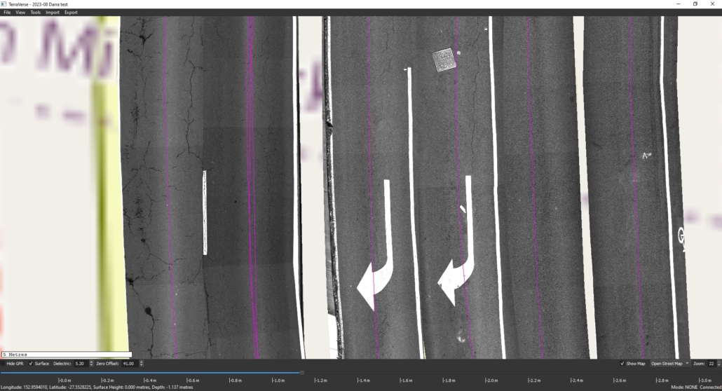
- Capturing a snapshot of surface imagery across large or small sites (roads, airport pavements, port facilities, concrete hardstand areas, etc.) for documentation, monitoring or evidentiary purposes
Subsurface Utilities / PUP
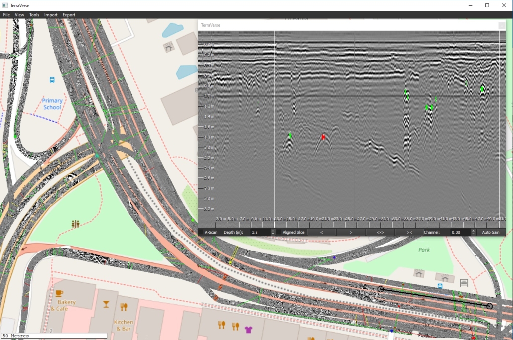
- Locating, mapping and estimating the depth of subsurface utilities
- Detecting and mapping the location of buried pits and protection slabs
- Comparing features in surface imagery (e.g. access hatches) and subsurface 3D NM-GPR (e.g. pipes, protection slabs, pits) over vast areas to achieve a more holistic and complete understanding of site conditions
Bridges
- Mapping the depth of asphalt Deck Wearing Surface (DWS) to plan remedial works and rebar cover depth
- Identify underlying causes of bridge approach failures
- Capture surface images of existing condition, for monitoring or evidentiary purposes
Law enforcement
- Identifying the presence and precise location of buried objects or location of disturbed earth
Environmental
- Mapping the pattern of tree roots, determining near-surface geology, measuring the depth of capping layers, etc.
Archeology
-
- Locating and mapping buried structures, grave plots
