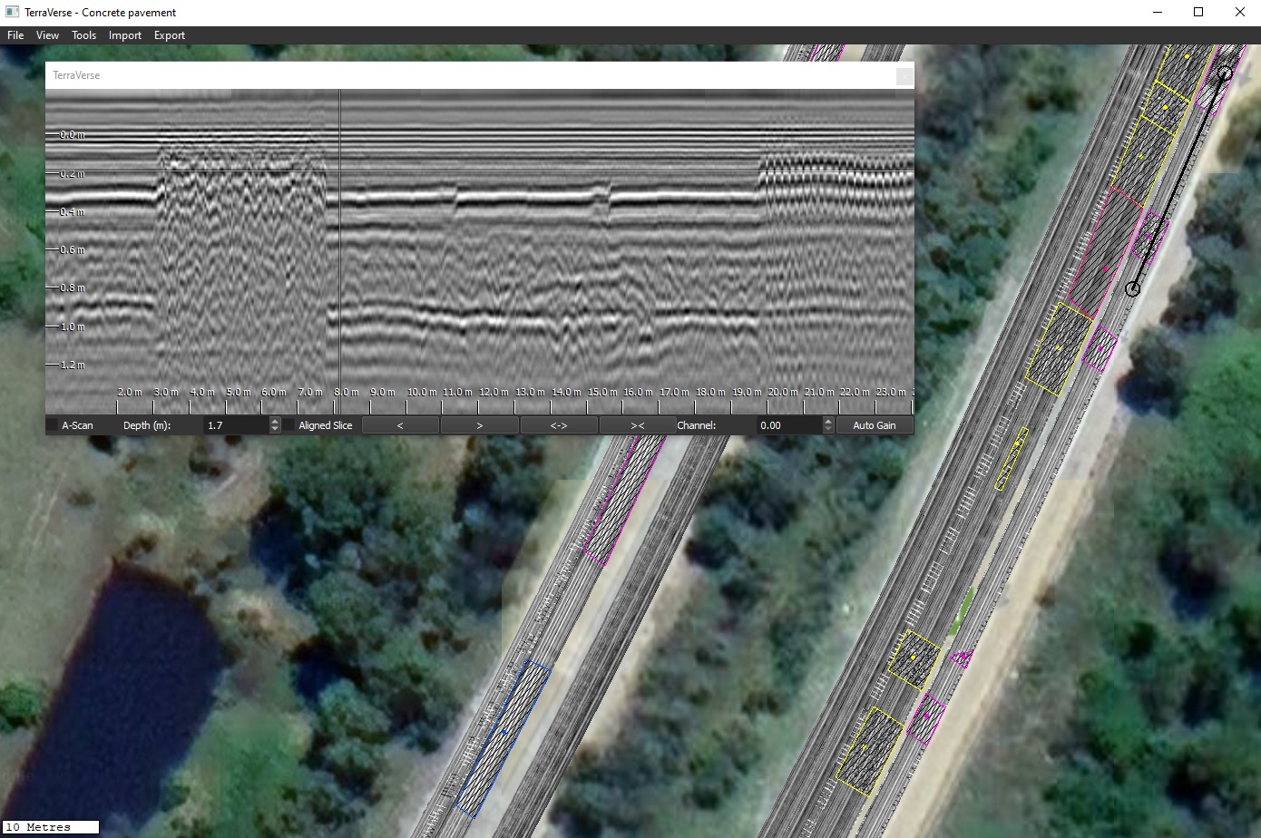
Case study: Locate & identify concrete repairs
- Site: Concrete multi-lane national highway, approx. 8km length to be assessed
- Objective: Determine location and type of concrete repairs
- Approach:
- Kerberos used to scan concrete pavement at traffic speeds
- Scanning performed without traffic control, within normal traffic flow
- Outcomes:
- Approx. 5 hours to scan entire site
- Traffic control not required
- Rebar repairs, tie bars and steel-fibre concrete repairs were clearly visible
- Different concrete repair types were easily identified & distinguished
- Outer boundary of each type tagged in software
- Results export to KML and other formats for client use
- Assessment completed quickly and easily without any pubic disruption
- Client benefits:
- Confidence: Locations & types of pavement repairs were clear and unambiguous within GPR data, giving confidence that they had been reliably identified
- Clarity: Use of 3D GPR enabled extent of each defect type to to be precisely identified, tagged & reported
- Coverage: Pavement lanes covered, providing confidence to proceed with project planning in the covered areas
- Cost & time: Site covered in a fraction of the time and cost of slower 3D or 2D GPR technologies
- Delay & disruption: Traffic-speed 3D GPR collection avoided the significant costs & public disruption of traffic control measures

