Services
(Australia only)
Site Investigations
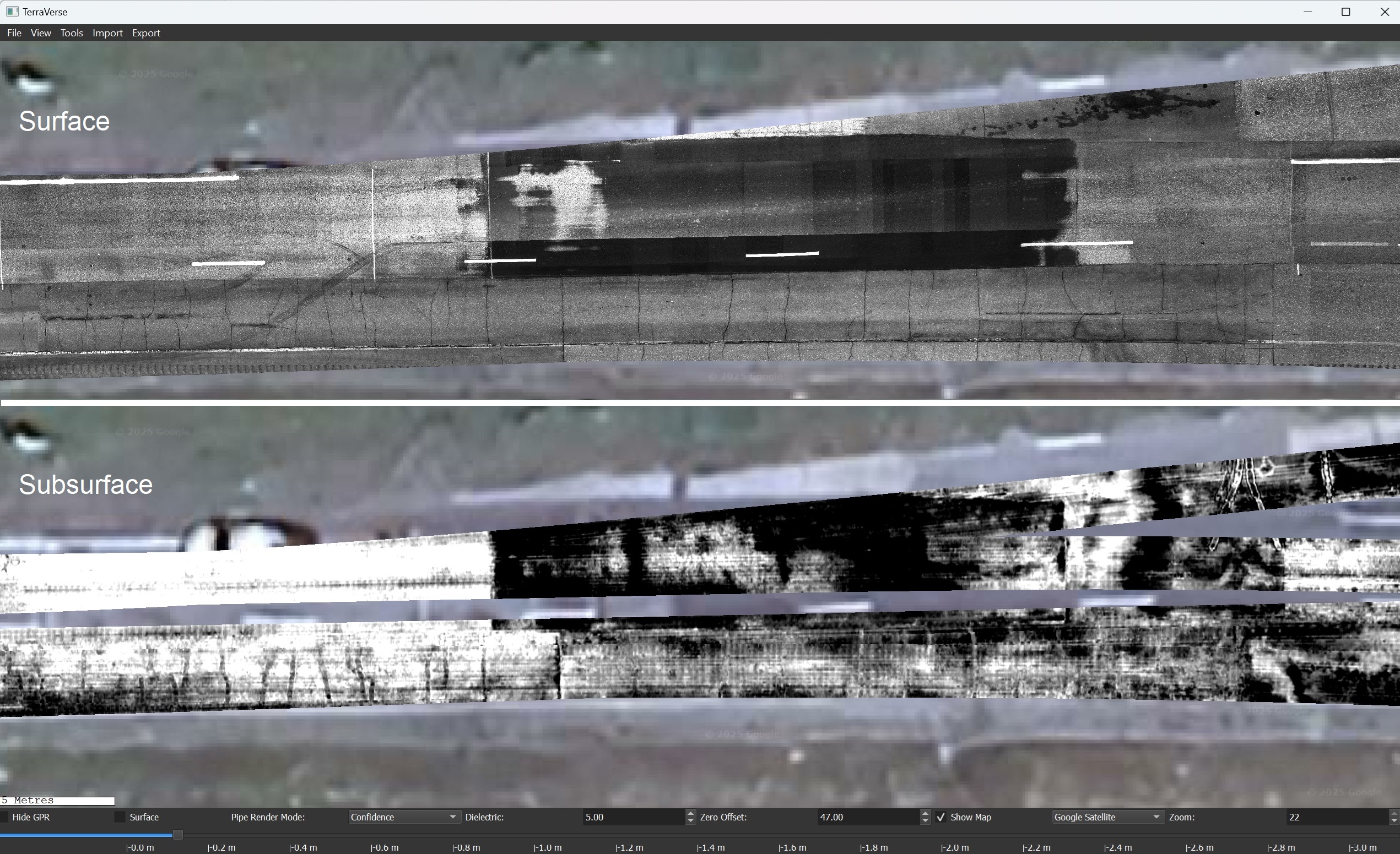
Using its world-leading 3D NM-GPR, surface imaging and positioning technologies, CodedRADAR undertakes rapid non-invasive site investigations for clients throughout Australia, including:
- Civil Infrastructure: Assessing existing condition of roads, bridges & airport pavements:
-
- Measuring pavement layer depths; locating & mapping changes of construction; determining cross-sectional profiles.
- Identifying & locating defects or voids within or under roads; detecting pavement breakup & moisture ingress.
- Using 3D GPR to target trench & core locations to maximise benefit and ‘join the dots’ between physical samples.
- Locating subsurface obstructions to better inform and guide design and construction activities.
- Investigating the underlying causes of pavement failures by comparing surface and subsurface features.
- Mapping depth of deck wearing surface or rebar cover on bridge decks; investigating bridge approach problems.
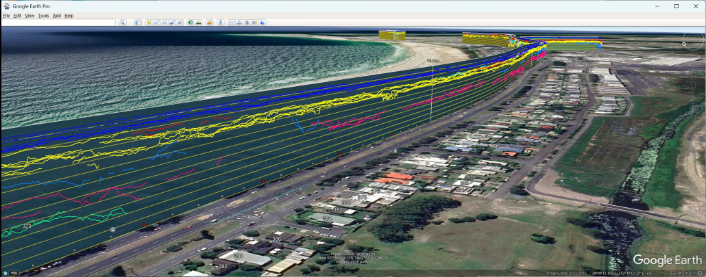
- Subsurface utilities: Detecting, mapping & estimating the depth of subsurface utilities, pits & associated infrastructure assets.
- Environmental, geological, forensic: Mapping tree roots, subsurface boulders, locating gravesites, assisting forensic or law enforcement investigations.
Technical Consulting
Led by expert engineers with more than 20 years experience, CodedRADAR provides technical advice, guidance & training to clients regarding the viability or otherwise and use of GPR, surface imaging, positioning and for using other sensors various civil infrastructure and related investigations.
For expert advice from the people that make the equipment, call CodedRADAR.


