Kerberos™
Traffic-speed surface & subsurface measurement platform
Overview:
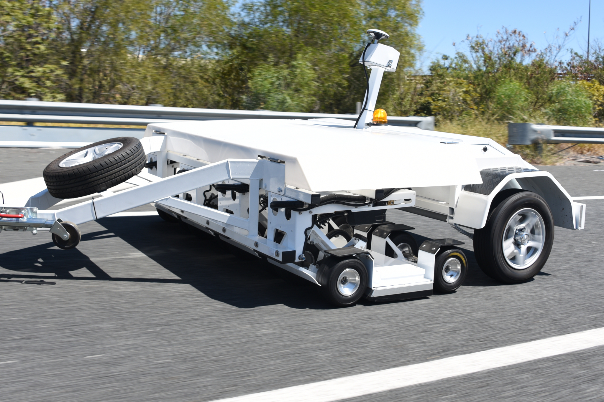
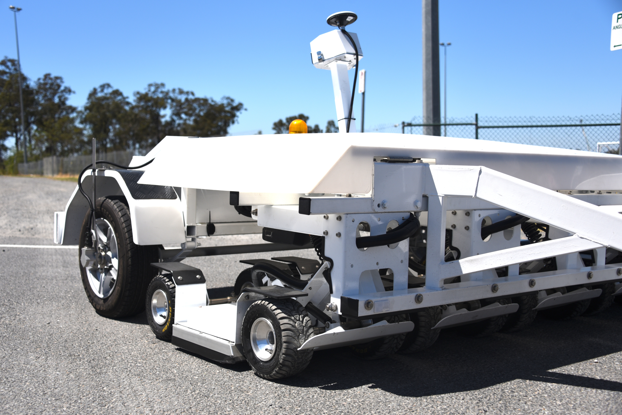
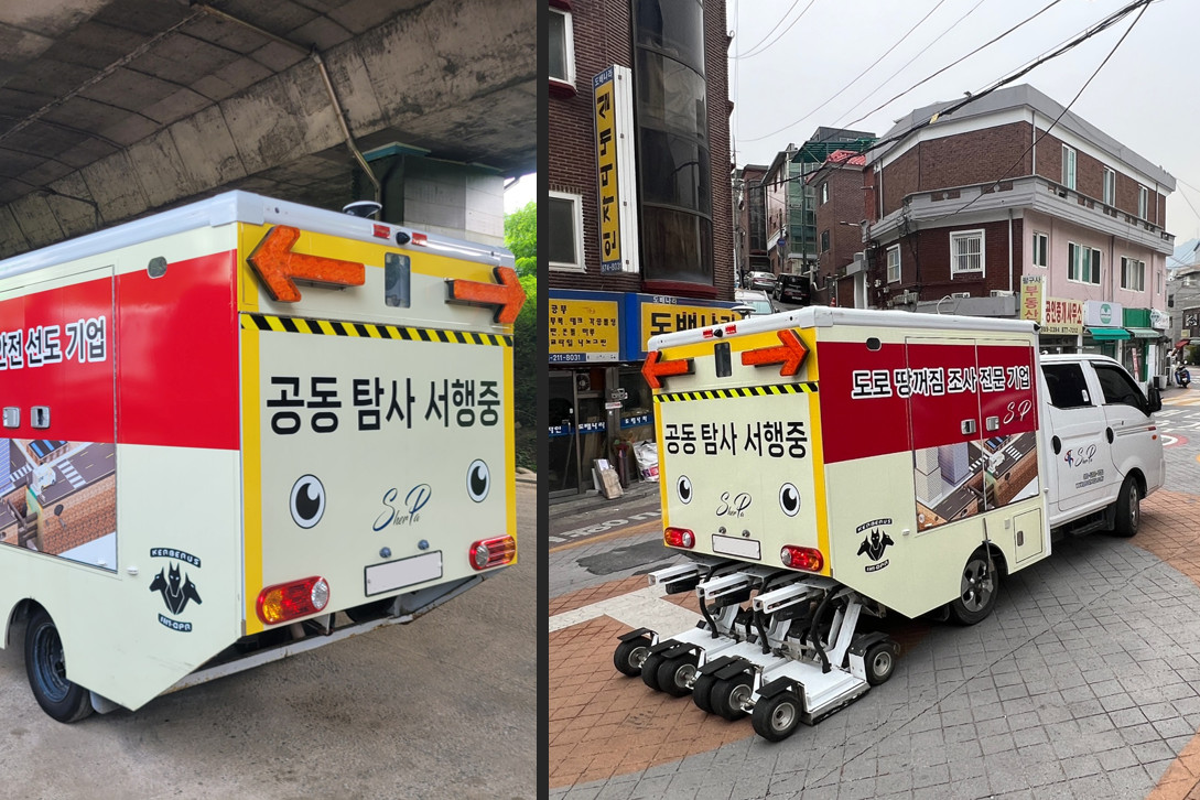
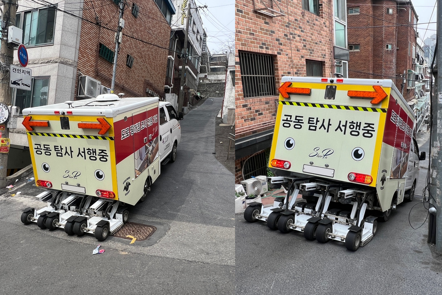
Kerberos™ is a fully-featured sensor platform designed to investigate current conditions and “as-constructed” details of roads, airport pavements, bridges and other types of paved civil infrastructure at traffic-speeds. The modular & scalable design enables it to be installed on collection vehicles of different shapes and sizes or on dedicated collection trailers.
Customers often seek out Kerberos™ because of its advanced 3D Noise-Modulated Ground Penetrating Radar (NM-GPR) subsurface imaging capabilities. However, this is only part of the platform’s investigation and measurement capabilities.
Platform features & capabilities:
- Continuously image and measure features above and below ground within normal traffic flows at up to 100km/hr [62MPH]
- Uses 3D NM-GPR, the world’s fastest and most detailed traffic-speed ground penetrating radar (GPR) subsurface imaging technology
- Compliant & authorized to US & Canadian GPR UWB requirements [US FCC ID: 2BKW7-KerberosV21S; Canadian REL: 33089-KERBV21S]
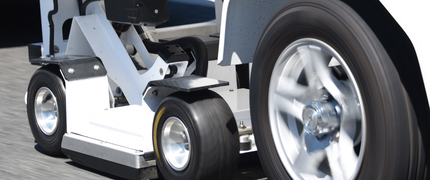
- Uses a rugged, ground-coupled array that flexes with surface undulations for superior data quality, consistent coupling and protection from external interference
- Remote antenna array deployment without leaving the vehicle for maximum operator safety
- Unrivalled data collection capacity & performance:
- Densely spaced data with high-resolution data & good penetration at traffic speeds
- Typical configuration: Measure on 30 GPR channels (4 pod system) every 25mm along the road, penetrating ~3.0m max. depth (51.2ns time window) with ~1.2 GHz centre frequency at 100 km/hr [62 MPH]
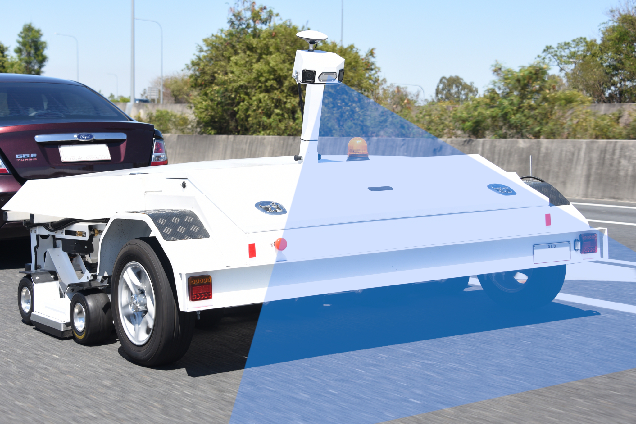
- Modular & scalable hardware that can be installed on various types of collection vehicle or on dedicated trailers
- Gather multi-offset GPR measurements alongside regular 3D GPR data, for advanced pavement permittivity analysis
- RTK-GNSS, Inertial Measurement Unit (IMU) [optional], and a wheel encoder for accurate data positioning
- Various optional sensors & enhancements:
- Continuous road surface imaging
- Visible light or InfraRed (IR) surface lighting
- Environmental / Right Of Way (ROW) cameras
- Transverse laser profiling (for rutting measurements)
- Wheel-path lasers (for measuring roughness, texture)
- LiDAR
Kerberos™ in operation
The video below shows a 4-pod trailer-mounted Kerberos™ system gathering data along a road at traffic speeds.
Kerberos™ platform
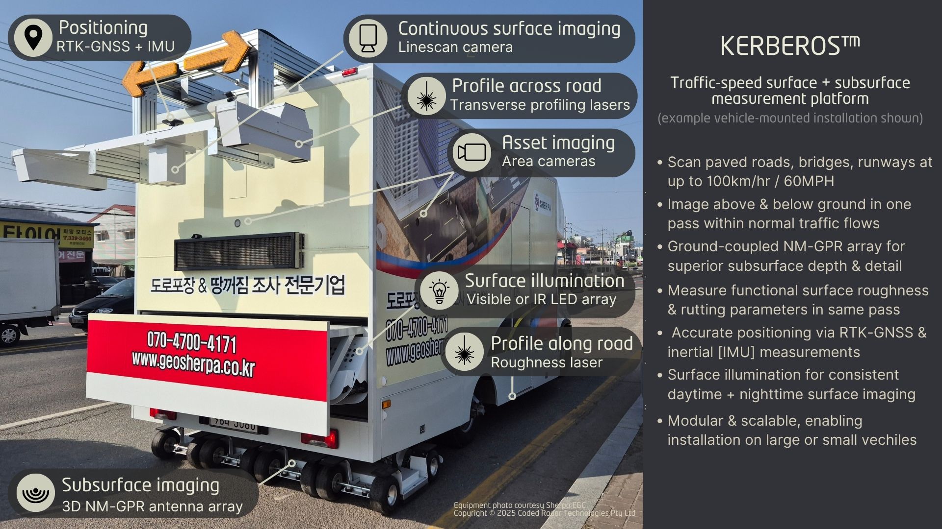
More than “just” a 3D GPR, the Kerberos™ platform can be configured to gather a variety of other sensor measurements. What’s more, the hard work of sensor integration has already been done! This makes it easy to expand the equipment’s data collection and imaging capabilities to meet your growing investigation needs.
Only want a 3D GPR? No problem! Simply install the 3D NM-GPR and control subsystem. You can always add optional sensors at a later date.
The image below shows a vehicle-mounted 4-pod Kerberos system fitted with some of the available sensor and lighting options.
Sensor type you want isn’t shown? No worries! With a flexible system architecture and more than a decade of sensor integration experience, we can probably help. Please reach out at info@codedradar.com to discuss your requirements.
